-
AERMET Made Easy – AERMET Input Files

AERMET – As Easy as a 1-Ah and a 2-Ah and a 3 If you have read the previous articles on locating and obtaining surface and upper air meteorological and land use data (stations, surface, upper air and land use), you now are at the point of learning how to put together the information you […]
-
Mapping Land Use / Land Cover Codes from NLCD1992 to NLCD2011
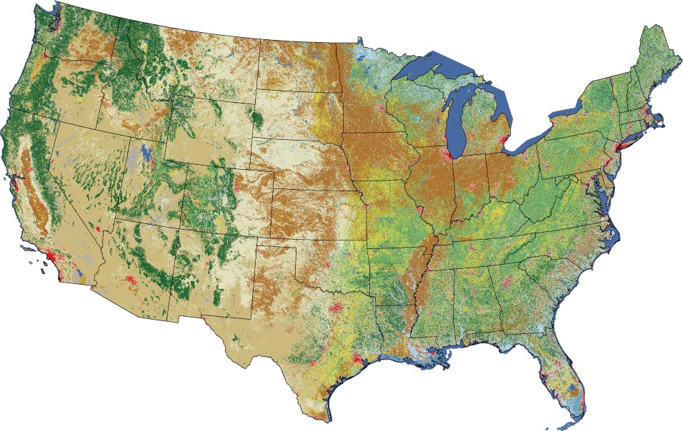
If you do chose to use land use data from the USGS that is more recent than 1992 (NLCD for 2001, 2006, 2011, and 2016), be aware that the classification schema for the newer data is slightly different. The table below shows the mapping for the classification codes. Though it is import to know the […]
-
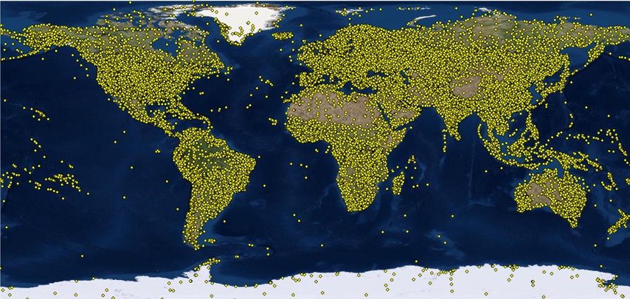
AERMET Made Easy – Accessing Upper Air Data and AERSURFACE

When I was in elementary school in the 1960’s and 70’s, if you needed to look something up, like relevant dates, historical figures and events, etc., you would go to the library. Being too young to drive to the library, I often relied upon the encyclopedias my parents had bought many years earlier; 1955 to […]
-
AERMET Made Easy – Accessing Surface Data
We are all familiar with buying a product that requires assembly, typically furniture or some kind of toy-like contraption if you have kids. The expectation is there will be a list of parts (all identified), a list tools necessary for the assembly, and instructions taking you step-by-step through the process. Sometimes, there are pictures and […]
-
AERMET Made Easy – Selecting Weather Stations
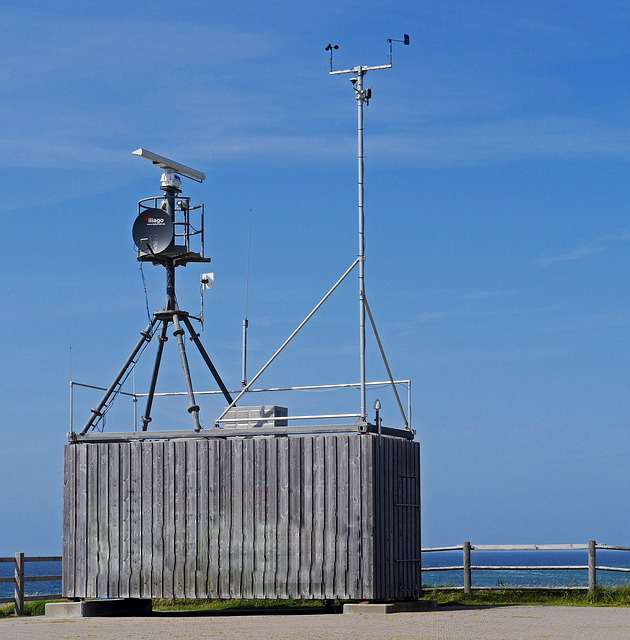
“When using National Weather Service (NWS) data for AERMOD, data representativeness can be thought of in terms of constructing realistic planetary boundary layer (PBL) similarity profiles and adequately characterizing the dispersive capacity of the atmosphere. As such, the determination of representativeness should include a comparison of the surface characteristics (i.e., zo, Bo and r) between […]