-
AERMOD Area Sources Explained
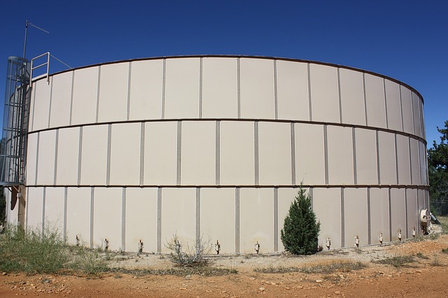
In one of my graduate classes, a long time ago, the professor giving the lecture was starting to through some derivations of equations. He started out by writing down assumption that were known to be true. He paused for a moment, looking at the list of assumptions, then asked himself, as well as the whole […]
-
When to use Volume Sources in AERMOD
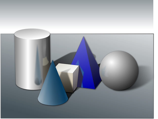
There are many things that have a name but are not what their name indicates. For example, a panda bear is not a bear at all, but a big racoon. A peanut is not a nut. It’s a legume (a bean). A horned toad is a lizard. A volume source fits into the same category. […]
-
Which Is Right for Your AERMOD Project: POINT, POINTCAP, & POINTHOR?

Henry Ford once said, “a customer can have a car painted any color he wants as long as it’s black”? There were several reasons why that was, but still, there wasn’t much of a choice. The was true when representing a stack or a vent in AERMOD. Whether the vent exhausted vertically, horizontally, or radially […]
-
Tools for FNSR Applicability, Netting, BACT, and More

Most of us have cooked something using a recipe. Follow the steps as they are written and you end up with something edible, most of the time. Beside the recipe itself, there are two import items you must have to be successful: the right ingredients and the proper tools. When putting together an air quality […]
-
Identify Off-Property Sources and Other Off-Property Issues
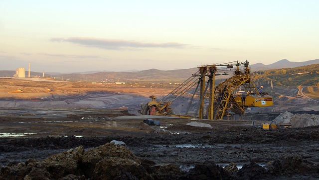
For those old enough to remember the days before the world wide web, if you wanted to buy a product that was not available in a retail store but only through a catalog or telephone operators standing by, you expected to wait 6-8 weeks for delivery for your order. It took that long for the […]
-
Determine Background Concentrations in Minutes

If you are into woodworking, then you know what a jig is. It takes a bit of time to put one together. Once you have it and use it, it’s like magic. You will ask yourself, “why didn’t I do this sooner?” The NaviKnow Air GeoDataBase is like a collection of jigs for most of […]
-
Selecting Weather Stations Using NaviKnow Tools
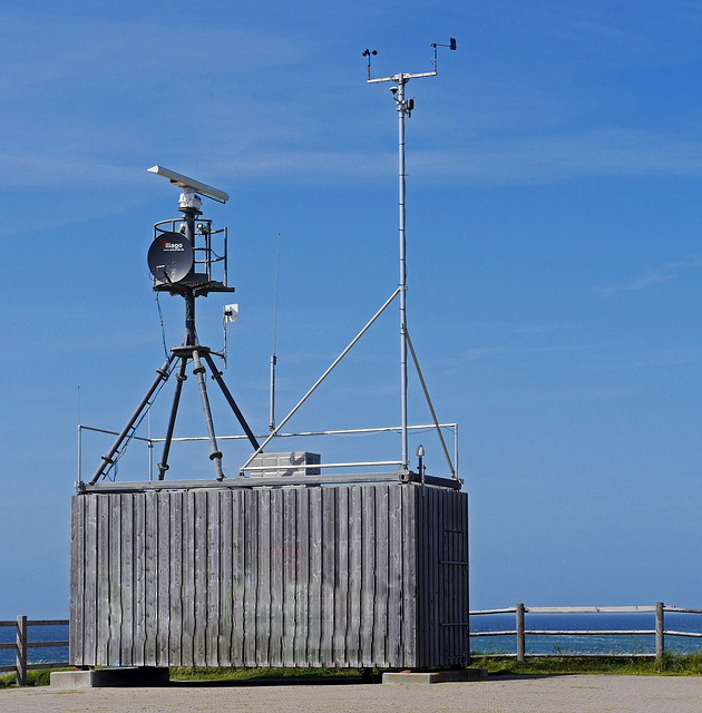
In our first installment of NaviKnow’s Meteorology Month (Selecting Weather Stations for Dispersion Modeling January 10, 2018), we described a process to select an appropriate weather station to gather data from for your dispersion modeling project. In this article, we are going to walk through the process using data from the National Weather Service (NWS) […]
-
AERMET – As Easy as 1, 2, 3
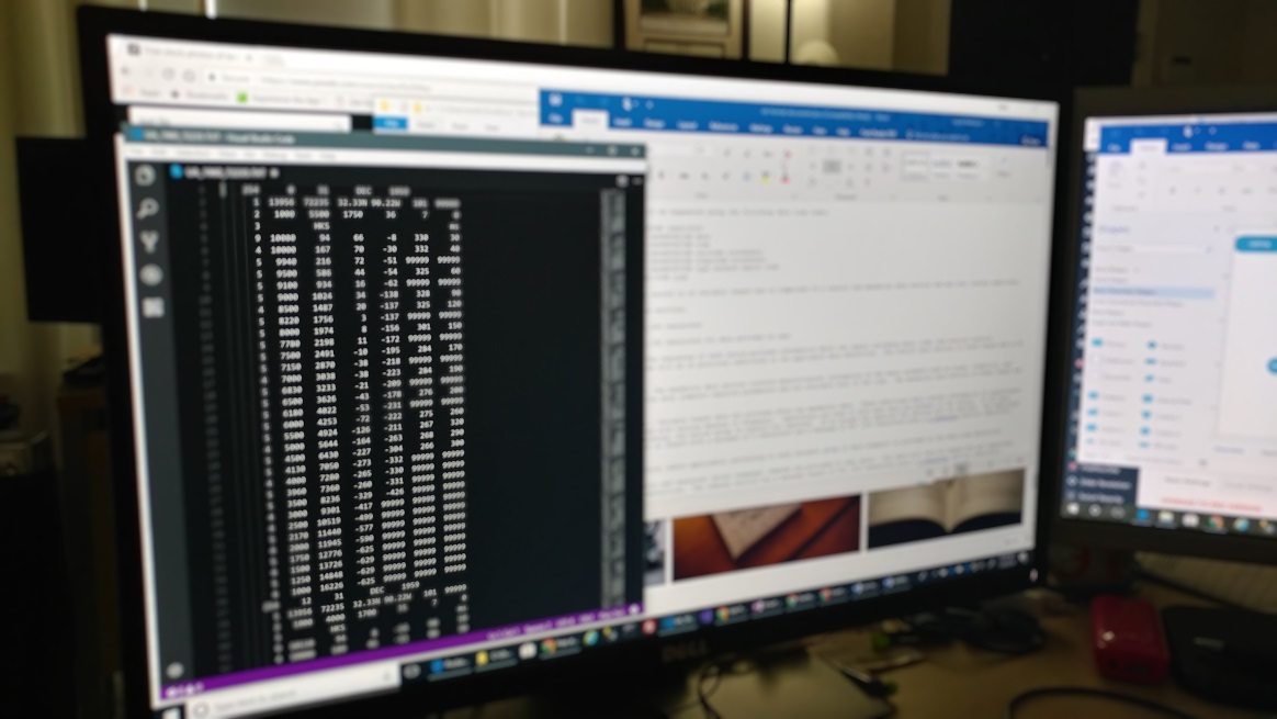
If you have read the previous articles on locating and obtaining surface and upper air meteorological and land use data (stations, surface, upper air and land use), you now are at the point of learning how to put together the information you have gathered to run AERMET. You have to create three separate inputs files […]
-
How to Find Data for AERMET: Upper Air and Land Use Data

When I was in elementary school in the 1960’s and 70’s, if you needed to look something up, like relevant dates, historical figures and events, etc., you would go to the library. Being too young to drive to the library, I often relied upon the encyclopedias my parents had bought many years earlier; 1955 to […]
-
AERSURFACE Season Values
The surface characteristic values used by AERSURFACE are based on the land use classification by season. In the AERSURFACE User’s Guide, five seasons are used as defined below: Seasonal Categories Category Description 1 Midsummer with lush vegetation 2 Autumn with unharvested cropland 3 Late autumn after frost and harvest or winter with no snow 4 […]
