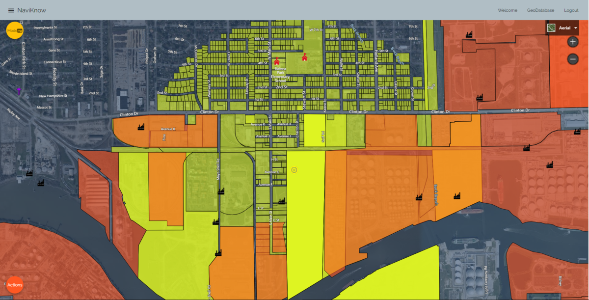
Why spend hours searching to download gigabytes of data that you have to reformat to meet your needs provided you have invested thousands of dollars in software to even use the data. We will gladly serve it up to you, for FREE! We provide the information you need and the tools to put it into action!
Data Sets Available:
- USGS Terrain
- USGS Land Cover
- EPA Nonattainment arears
- EPA Class I areas
- EPA ambient monitoring
- EPA National Emissions Inventory (NEI)
- NOAA/NWS Meteorological Stations
- NCES K-12 Public and Private Schools
- TCEQ Site and Permit data
- TCEQ Emission Unit emission inventories
- Texas legislative districts
- Texas Parcel Data
- Texas municipal boundaries
Stop wasting your time and money. Go to https://nk20.naviknow.com/ (NaviKnow Tools), open a user account and create high quality area maps that actually convey useful information.
NaviKnow Tools is a powerful resource for air quality permitting, regulatory strategy, and dispersion modeling. Explore all of the available datasets for free.
Have questions about NaviKnow Tools or want a personal demonstration? Email us at [email protected].
